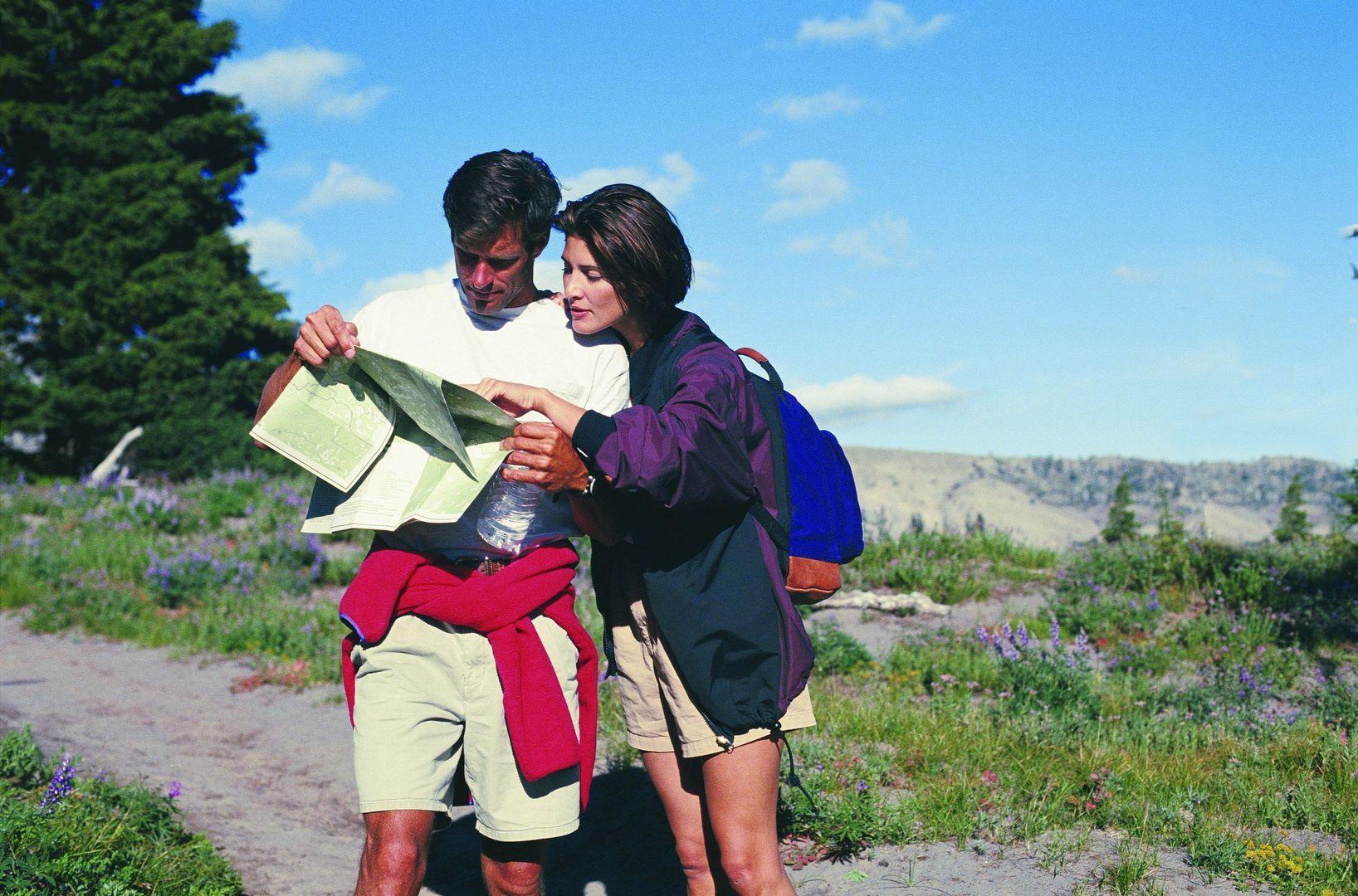
What to do in the summer in Roccaraso: walking trails
You will certainly have heard of Roccaraso and the ski resort that every winter entertains thousands of skiers from all over Italy, but the village, just 4 km from the Cipriani Park Hotel, is not just about winter. Summer is the perfect season to enjoy a bit of nature in the fresh, clean mountain air.
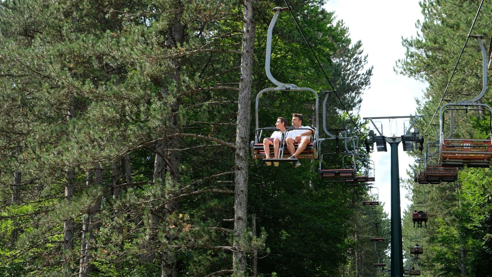
The summer season in Roccaraso offers many opportunities and activities perfect for walking and outdoor activities enthusiasts, such as the network of trails, inaugurated in 2007. The "Roccaraso sentieri" (Roccaraso trails) run through the area between the town centre and the Aremogna plateau and offer a series of trails for all those who like to discover the area with hiking boots on their feet. .
Here are the Roccaraso trails suitable for everyone:
Fortunato trail – no. 101
Difficulty: T (Tourist)
Departure (altitude): Località Ombrellone (1275 m)
Arrival (altitude): Località Fortunato, site no.2 (1362 m)
Duration: 30 min
Just past the chairlift base, near the entrance to the Adventure Park, take a left onto a ski slope (known as slope 2) surrounded by pine trees at the foot of Colle Belisario, going up in a south-easterly direction. After the first wide bend, turn left and follow the signs on the board to enter the beech wood; walk along a short stretch slightly uphill until you reach the crossroads of the trampoline area (site no.1). Keep heading in the same direction, cross the trampoline area and walk up a short stretch (to the right) to cross trail 102.
At the crossroads by the trampolines, follow the signs for Località Fortunato and turn right into the beech wood, ascending slightly at first and then tackling a more demanding climb, at the end of which you will reach your destination at an altitude of 1362 m at the junction with trails 102 and 103. An alternative return route is via trail no. 102.
“La pineta” trail – no. 102
Difficulty: T (Tourist)
Departure (altitude): Località Ombrellone (1275 m)
Arrival (altitude): La Pineta – War posts, site no. 4 (1374 m)
Duration: 45 min
Go down the asphalt road in the direction of the village and turn right into Via Pineta Vittoria and follow it as far as Punta Rossa, the old skating rink (site no. 5). Follow the signposts up to the old skating rink and continue along the well-marked trail into the fir forest. At the first hairpin bend, the Fortunato trail (no. 101) crosses to the right. Continuing the ascent for another 7 hairpin bends, immersed in this splendid and shady pine forest, we reach an altitude of 1379 m in the presence of monumental pines, relicts of the old pre-war pine forest. At the crossroads, turn left towards the east and cross the top of the hill at an altitude of 1,382 m. A gentle descent leads to the panoramic point from which it is possible to admire the peaks of Mounts Maiuri and Arazzecca, covered in thick beech woods.
Throughout the area, and especially on this side, iyou can come across traces of war posts from the last world war: hollows in the ground, surrounded by stones that held artillery pieces; connecting walkways between posts; holes caused by ordnance explosions. Back at the crossing point, the trail continues in a westerly direction and after a short descent, past a half-destroyed wall, it reaches the junction with trails 101 and 103. Return by the same trail or by trail 101.
“Quadrone – Valle Canara” trail – no. 103
Difficulty: T (Tourist)
Departure (altitude): Località Fortunato, site no.2 (1362 m)
Arrival (altitude): Valle Canara – junction with trail 105 (1348 m)
Duration: 30 min
To reach Fortunato dall'Ombrellone follow trail 101 or alternatively 102. From the Fortunato locality, take the slightly downhill trail as indicated by the signs and enter the beech wood at the point marked by a red and white pole. Go up a wide bend in the woods to the right until you reach a large open terrace (Località Quadrone, site no.3) and cross it in a south-westerly direction. Follow the board as you leave the woods and a clearly visible pole in the meadow and turn left to the junction with trail no. 104 (which leads to the Campetto degli Alpini).
Follow the well-marked cart track down to the junction with trail 105. From here, as indicated by the signposts, continuing to the right you will reach Campitelli (site no.7) in about an hour's walk; if you turn left in a northerly direction along the Valle Canara, you will reach the tarmac road that leads back to the village of Roccaraso.
“Campetto degli Alpini” trail – no. 104
Difficulty: T (Tourist)
Departure (altitude): Località Quadrone, site no.3 (1398 m)
Arrival (altitude): Campetto degli Alpini (1424 m)
Duration: 40 min
To reach Località Quadrone locality from Ombrellone follow trails 101 or 102 and continue on 103. From the junction with trail no. 103 at Quadrone, the trail enters a pine forest in a south-westerly direction and continues through the beech forest, following a clear trail until it reaches a wide bend in a ski slope (slope 2 of the Belisario pass), which descends steeply to the right towards Ombrellone. Go up a short stretch of the bend to the left and spot the clearly marked signposts indicating the entrance to the trail at the edge of the wood. Continue in the shade of the beech trees until crossing a wide roadway (track 1 of Colle Belisario). Turn left and follow the slope downhill; a wide bend to the right leads to the junction with trail 105.
As indicated by the signposts, turn left and climb up towards the Rifugio la Selletta at an altitude of 1575m. To the right, trail 105 descends along the Valle San Rocco and after a short dirt track leads to the Campetto degli Alpini. Continue downhill along the easy tarmac road that leads back to the village of Roccaraso to reach Località Ombrellone. Difficulty: T (Tourist) Departure (altitude): Località Quadrone, site no.3 (1398 m) Arrival (altitude): Campetto degli Alpini (1424 m) Duration: 40 min
“Campitelli” trail – no. 105
Difficulty: EF (Easy hiking)
Departure (altitude): Località Ombrellone (1275 m)
Arrival (altitude): Località Campitelli, site no.7 (1454 m)
Duration: 2h 10 min to Campitelli, 4h full trail
Trail 105 is presented as a loop starting from Ombrellone and ending at the Campitelli pass, which offers a splendid panoramic view of the Aremogna plain and the surrounding heights. Go down the asphalt road in the direction of the village and turn right into Via Pineta Vittoria and follow it as far as Punta Rossa the old skating rink (site no. 5). Follow the signs down the section of trail that ends with a small flight of steps behind the rest home. Turn right into Via Piè del Monte and continue along the tarmac road until you see the village cemetery. The Campitelli trail opens up on the right, next to a drinking fountain, the only source of water on the entire route. Continue along the trail, keeping to the left until it enters a characteristic beech wood. Cross a meadow along a stretch bordered by two long walls bordered by dog rose, redcurrant and dogwood bushes.
On returning to the forest, trail 105 forks into trail 103. Continue to climb through alternating woodland and clearings until you reach a panoramic area that overlooks a gully protected by a fence, from where you can admire the heights of Molise with the village of Capracotta, the Sangro valley and Mount Arazzecca covered in a thick beech wood. From here, the trail follows an unmistakable track immersed in the centuries-old beech forest of Monte Maiuri, once the hiding place of brigands, climbing up the Arenaro valley along its entire length, then crossing the wide clearing of Campitelli, at the foot of Monte Arazzecca, to reach the pass of the same name at an altitude of 1466 m (site no.7).
Worth noting along this stretch is Pietra Puttanella (site no. 6), a traditional resting place, and Rocchia di Letizia, a legendary and tragic place linked to the history of local banditry. From site no. 7, the well-marked trail slopes down to the stazzo near Fonte della Guardia, offering a wide panorama of the Aremogna plateau. After passing the farmstead on the right, the trail climbs northwards along the slopes of Monte Maiuri, until it reaches Passo della Selletta at an altitude of 1,575 m and the refuge of the same name. From the refuge, descend towards the San Rocco Valley, which widens out and leads to Campetto degli Alpini. Now the trail turns into a tarmac road that leads back to the starting point at Ombrellone.
Would you like to stay in Roccaraso? The Cipriani Park Hotel is just 4 km from the centre. Take a look at our offers.
You may also like

Abruzzo crafts: the festival of ancient trades in Pescocostanzo

Abruzzo is not just about skiing: the mountains of the Slons

On the tracks of the Marsican brown bear: from Palena to Pescasseroli

What to see in Scanno besides the lake

Family activities: “La Camosciara” Nature Reserve by miniature train and Lake Barrea

6 trails between Rivisondoli and Pescocostanzo
